
The World
Runs on Physics
AI-Native
Platform
for Physical
ReasoningAI-Native Platform
for Physical Reasoning
[ Discover ]
Thinking Lab™
An Autonomous Lab
for Physical Reasoning
Intelligence.
Self-learning superintelligent AI agents that understand your question, investigate, reason and deliver auditable risk analytics through physical reasoning.
Thinking Lab™ applies physical reasoning and world-model intelligence to understand how complex systems behave — and why outcomes happen.
Sovereign by design. Build for critical investment and regulation decisions.
/ Thinking Lab™ is now open to a select group of users. Platform access is limited.
[ Type-1 Reasoning ]
Conventional AI systems reason over language — not over the forces that actually drive outcomes.
They summarize, extrapolate, correlate, and hallucinate.
That is because these systems rely on Type-1 Reasoning.
A Machine Learning (ML) architecture that produces fast, probabilistic answers derived from pre-trained textual patterns. But, the world is made of energy systems, weather patterns, infrastructure networks, logistical constraints, regulatory boundaries, and biological processes.
[ Type-2 Reasoning ]
At Globeholder.ai we are building a new category of intelligence: Type 2 Reasoning
Physical AI designed to reason about how complex systems behave. Not just prediction.
- Deliberate, physics-grounded analysis;
- Constraint-enforced decomposition;
- Causal validation at every step;
- Auditable, reproducible conclusions.
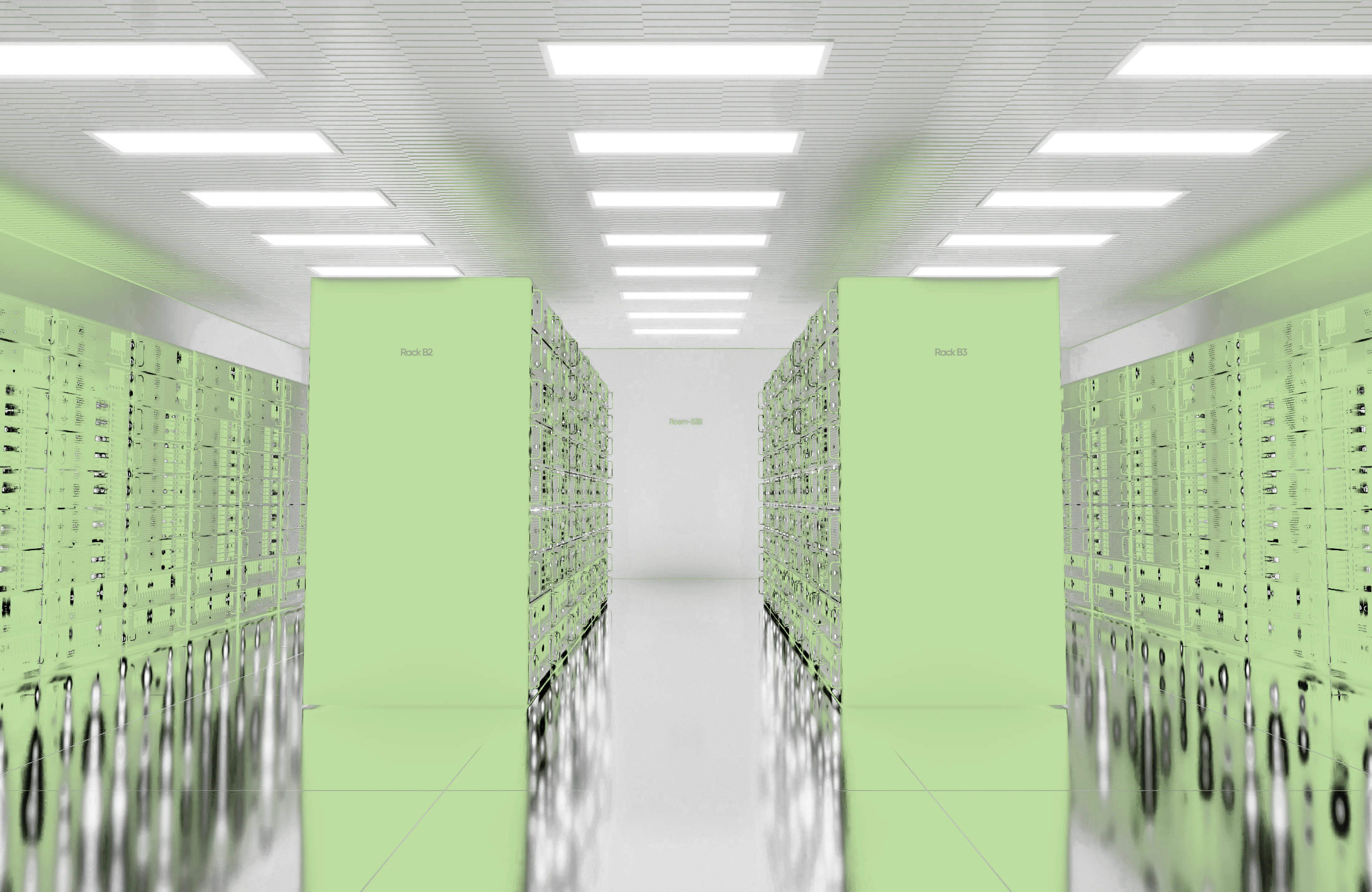
[ Sovereign by Design ]
Thinking Lab™ is designed for organizations that require control, transparency, and trust.
The platform provides:
The next century is being
defined right now
Sovereign by design. Auditable, reproducible, and defensible results — from nuclear and renewable assets to data centers.