
Frontier AI
for Planetary
Physical
ReasoningFrontier AI for Planetary
Physical Reasoning
Critical Investment decisions involve complex, multi-dimensional questions. Across disciplines, data types, and domains simultaneously.
Climate and infrastructure.
Economics and geography.
Risk and time.
Type-1 AI is trained on text.
But the physical world doesn't run
on text.
That’s why
we built
Thinking Lab™.That's why we
built Thinking Lab™.
A self-learning agentic system powered by Globeholder AI — the intelligence layer for the physical world.
No Type-1 pattern matching. Type-2 physical reasoning.
/ Not to guess faster. To know.
Tailor-made intelligence for critical decision-making.
[ Type-2 Reasoning ]
State-of-the-art transformer-based foundation models from Globeholder AI drive Thinking Lab™'s self-learning agentic system for reasoning through complex questions.
Globeholder Research-Grade Pipeline
/ Deterministic,Evidence-Bound, Auditable.
Satellite imagery Geospatial data, Geo-embeddings Omni-modal foundation modals, Planetary representation layer.
Evidence binding chains, Audit trails, Verification nodes.
Cause-consequence, Simulation-based hypothesis testing.
Verification, Validation, and Accreditation of the Results
[ Thinking Lab™ ]
Scientific AI Agents
Inside Thinking Lab™, AI agents function as autonomous researchers.
They:
- Analyze signals;

- Test competing explanations;
- Model system behavior;
- Generate structured reasoning outputs.
/ This allows organizations
to obtain explainable intelligence instead of opaque predictions.
The next century is being
defined right now
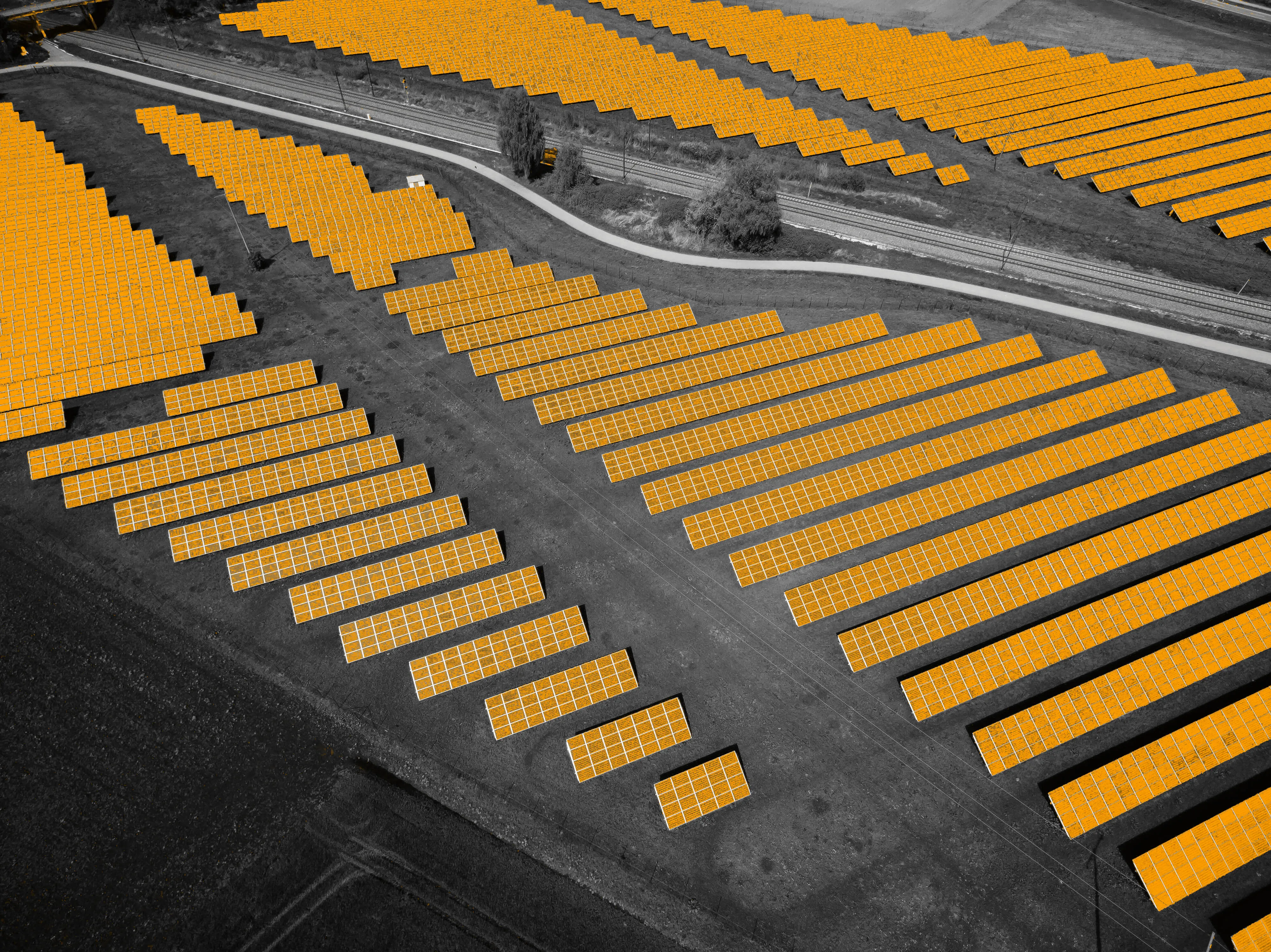
Sovereign by design. Auditable, reproducible, and defensible results — from nuclear and renewable assets to data centers.